
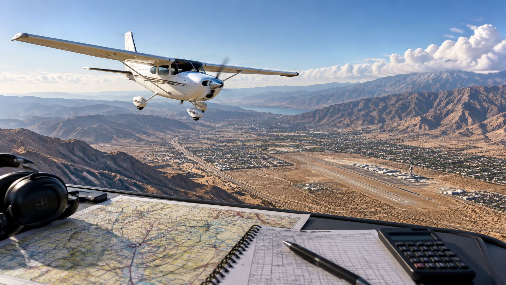
A student pilot has a route drawn, a destination in mind, and a flight-planning screen full of weather. The hard part isn't drawing a line between airports. Cross country flights call for one repeatable decision system, from checking conditions before departure to reassessing fuel and options on arrival. The same habits help student pilots meet training requirements and help certificated pilots plan trips that remain manageable when conditions change.
Table of Contents
- What Counts as a Cross Country Flight
- Solo and Training Requirements for Logging Cross Country Time
- Reading Weather Briefings and Making the Go or No-Go Call
- Choosing a Route and Building the Navigation Log
- Setting Fuel Reserves and Diversion Triggers
- Practicing Cross Country Flights at Busy Towered Fields Like KCNO
What Counts as a Cross Country Flight
A student flies from Chino Airport, KCNO, to an intermediate airport, then continues to another destination. Each leg may be short, yet a landing on the trip could still qualify as cross-country time if it is more than 50 nautical miles in a straight line from the original departure point. For certain FAA aeronautical-experience requirements, the flight must also include a landing away from the original departure point, use an accepted method of navigation, and be flown in an appropriate aircraft. The definition applies to qualifying experience for private and commercial pilot certificates and instrument ratings. (14 CFR § 61.1)
Two practical options worth comparing
These are specific products pilots commonly compare for this type of flying. Confirm compatibility with your aircraft and instructor before ordering.
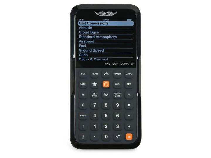 Flight planningASA CX-3 Flight ComputerCheck current availability on Amazon (paid link)
 Electronic flight bagApple iPad mini A17 Pro, Wi-Fi and Cellular, 128GBCheck current availability on Amazon (paid link)
Measuring a multi-stop trip
Measure from the original departure point to the landing point, even when the flight includes several legs. On the chart, draw a straight line between those two points. A route bent around airspace, terrain, or weather does not change the measurement. The FAA has clarified that each leg of a multi-stop flight does not have to be 50 nautical miles. (FAA legal interpretation)
That distinction matters when you assess a proposed trip. Total distance flown and the length of the leg before landing do not establish whether the distance condition is met. Check the chart distance from the original departure point to a qualifying landing location.
Before booking an aircraft or scheduling a dual lesson, confirm what the flight is meant to count toward. A trip to another airport may be called cross-country in everyday conversation, while its route and landings determine whether it qualifies for a particular logbook requirement.
Planning rule: Identify the requirement first, then measure the route against it.
The operational label and the regulatory logging definition serve different purposes. Ask your instructor whether the flight is intended to build qualifying cross-country time, meet a specific training requirement, or practice flying beyond the local area.
Solo and Training Requirements for Logging Cross Country Time
A flight can meet the general distance definition for qualifying cross-country time without meeting the private pilot solo cross-country requirement. The solo requirement has its own route, distance, and landing conditions, so students should check it separately before departure.
| Requirement | Logging definition | Private pilot solo requirement |
|---|---|---|
| Distance | A landing must be more than 50 nautical miles in a straight line from the original departure point. | The flight must total at least 150 nautical miles, with a qualifying segment of at least 50 nautical miles measured in a straight line between takeoff and landing locations. |
| Landings | The qualifying flight includes a landing at a point other than the original departure point. | Full-stop landings are required at a minimum of three points. |
| What the distance applies to | The qualifying landing point is measured from the original departure point. | The 50-nautical-mile segment is a separate requirement within the solo flight. |
| Purpose | Determines whether the flight can count toward certain aeronautical-experience requirements. | Satisfies the private pilot solo cross-country experience requirement. |
The solo requirement is set out in the FAA's private pilot aeronautical-experience rule, while the logging definition is addressed separately in the regulations. (FAA legal interpretation of the solo requirement)
Make the logbook match the flight
Before departure, the planned route should show each landing, the relevant straight-line distances, and which requirement the flight is intended to satisfy. After the flight, the entry should accurately record the route, flight time, and landings. Students should also retain the planning details needed to explain why the flight qualifies, rather than relying on a GPS track or a rough memory of how far the aircraft went.
An instructor's endorsement is part of the training record before a student flies solo cross-country. The instructor reviews the planned flight and determines whether the student is prepared and the route is appropriate. A student should confirm the required endorsement and its applicability with the instructor before the aircraft is booked or dispatched.
A common mistake is estimating distance from the aircraft's groundspeed, GPS track, or the sum of route legs. Those values describe different things; none replaces measuring the required straight-line distance from the correct point.
Before the flight begins, confirm:
- Purpose: Identify which training or logging requirement the flight is meant to satisfy.
- Route: Measure the required distances on the planned route before departure.
- Landings: Verify that the planned stops meet the applicable landing conditions.
- Endorsement: Confirm the instructor has reviewed and endorsed the solo flight as required.
- Record: Know which route and landing details will be needed for an accurate logbook entry.
Reading Weather Briefings and Making the Go or No-Go Call
The destination may be clear while a pass halfway there is closing in. Before a cross-country flight, assess the whole route and decide where you can land, wait, turn back, or divert if conditions change.
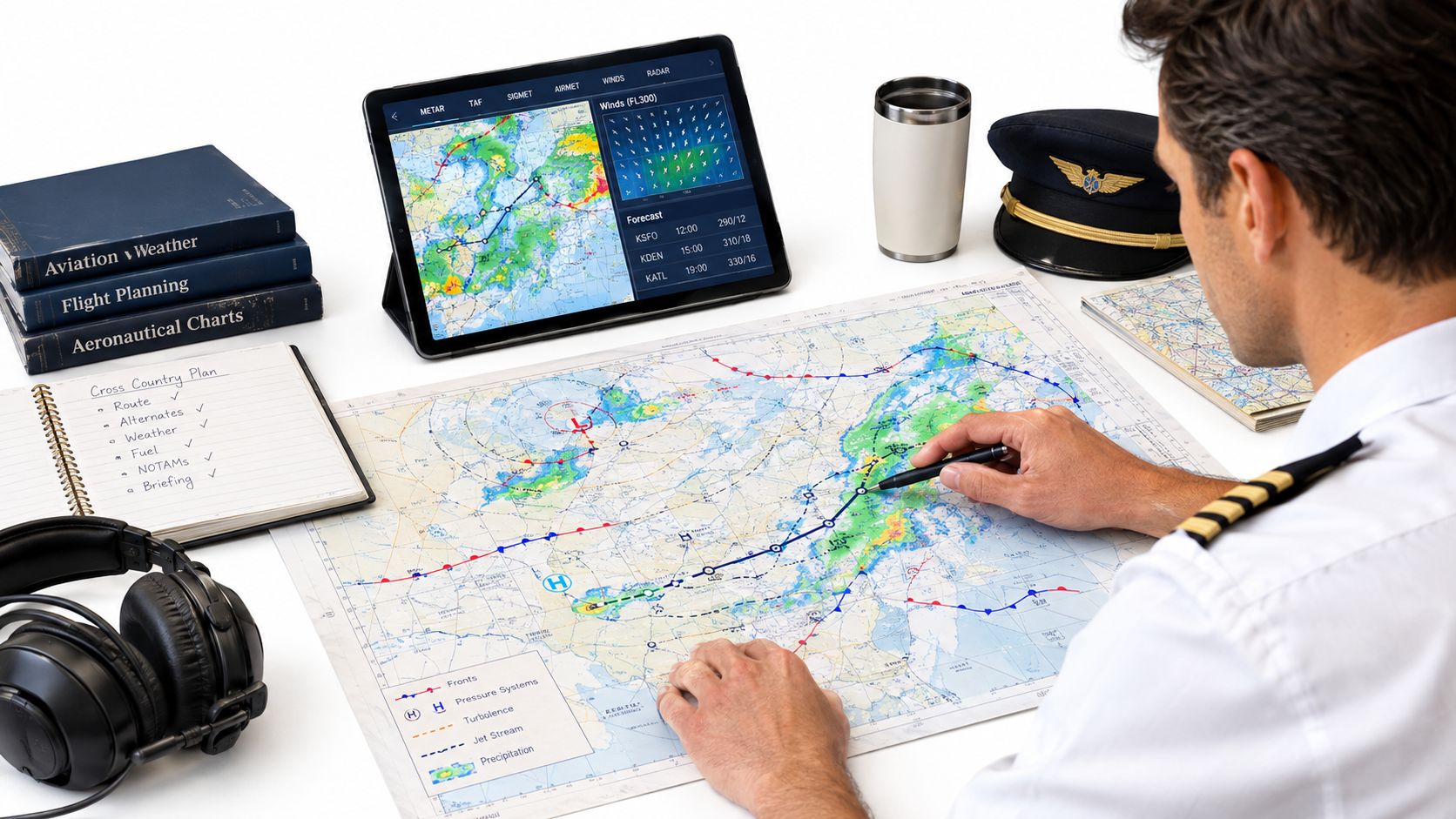
Build the picture as departure approaches
Check the broad weather pattern several days ahead. As departure gets closer, update the picture with the Graphical Forecast for Aviation, an official weather briefing, current METARs and TAFs, and winds aloft. Review NOTAMs and applicable AIRMETs and SIGMETs. FAA cross-country planning guidance recommends checking route weather, winds, approaching fronts, and areas where thunderstorms may develop. (FAA cross-country planning guidance)
For each leg, name a usable alternate and set a condition that would make you stop or turn back. A flight might be legal to launch based on departure and destination conditions while the weather corridor between them narrows. If safe options along the route are disappearing, continuing may no longer be a sound choice.
Southern California is a useful example. A coastal marine layer can block a route despite good inland conditions. Lowering ceilings can make a mountain pass unsuitable, while desert heat can affect aircraft performance. Make the decision before reaching the part of the route with fewer options.
Use checkpoints to organize the decision
Review the same decision points before departure and as the flight progresses:
- Departure: Note current and forecast conditions, wind, relevant NOTAMs, and your initial limits.
- Midpoint: Check the expected route conditions, whether an alternate remains usable, and whether the planned corridor is still open.
- Destination: Review arrival conditions, expected changes, and airport or runway limitations.
- Alternates: Confirm where you can land and what condition will trigger that choice.
Set triggers you can act on. If forecast ceilings, visibility, or the available corridor fall below your personal limits, follow the decision you made on the ground rather than hoping conditions improve. DuBois Aviation's go/no-go criteria can help pilots organize those decisions around practical limits rather than wishful thinking.
In flight, ADS-B weather supports strategic decisions, but it is not a precise picture of conditions immediately ahead. Onboard radar imagery also has limitations. Do not treat a clear gap on the display as proof that a route through weather is safe. If the forecast ceiling at the midpoint drops below 1,500 feet on a mountain route, turn back to the coastal alternate before reaching the pass.
Choosing a Route and Building the Navigation Log
A route that looks short on a chart can still demand careful planning. Build the navigation log one leg at a time, then use it in flight to compare planned progress with actual conditions.
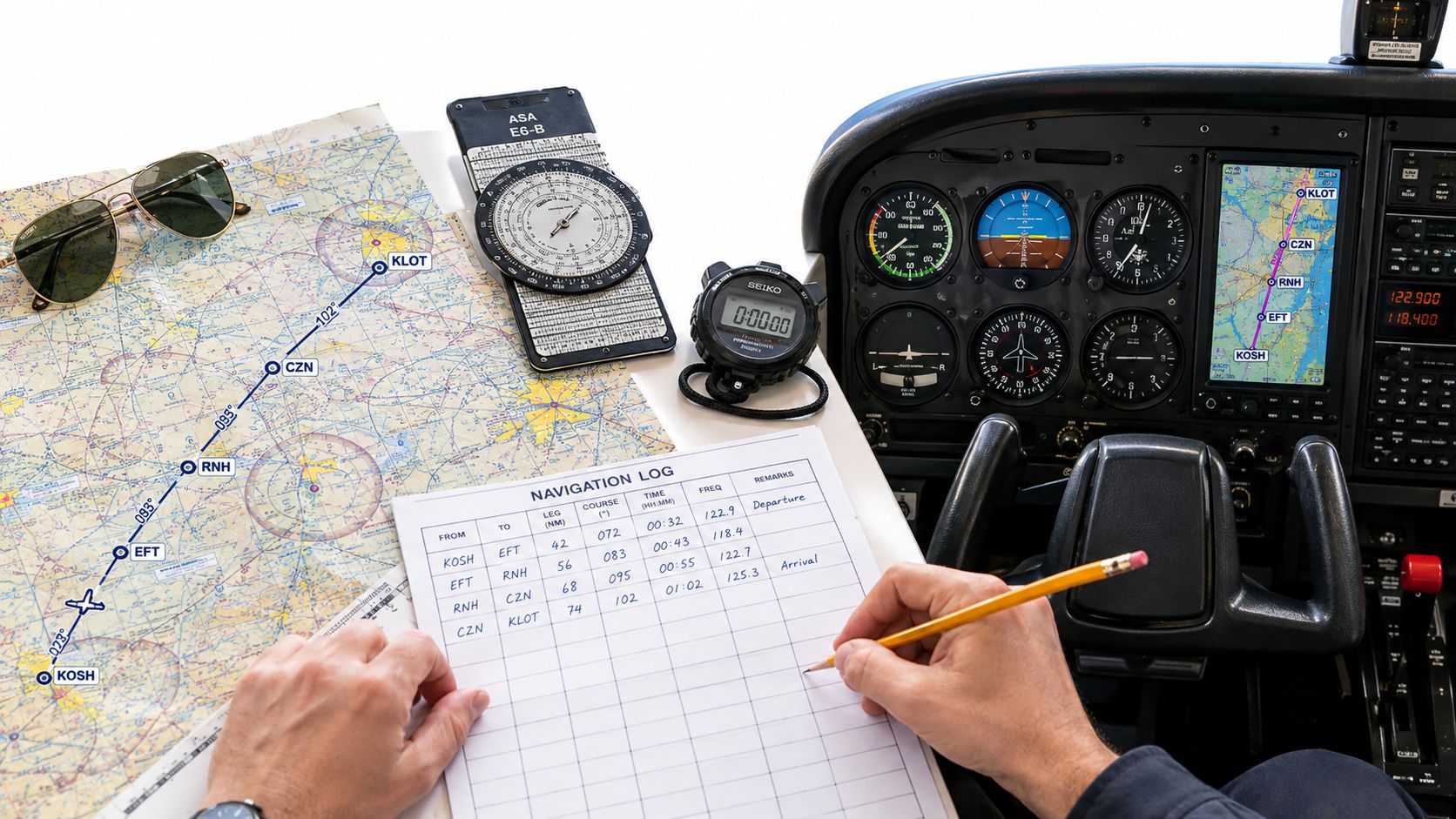
Calculate each leg in sequence
Draw the route and measure each leg. For every segment, record:
- Course and altitude: Determine the true course and distance, account for magnetic variation, and select a suitable cruising altitude.
- Aircraft performance: Use the POH to find true airspeed at the planned power setting and altitude.
- Wind and heading: Apply wind correction to find the magnetic heading, then calculate groundspeed.
- Time and fuel: Estimate time en route and fuel burn for the leg. Include startup, taxi, run-up, climb, and likely deviations.
Use the POH figures for this aircraft and this flight, and recalculate if the wind changes. A shift in groundspeed changes both arrival timing and fuel planning. For manual calculations, review this guide to using an E-6B flight computer.
Choose checkpoints that are easy to identify from the air and spaced along the route. Visual references help you confirm position without fixating on a moving map. VORs and other available navigation aids can provide an independent check of your GPS route and waypoint sequence.
Cross-check the programmed route
Before taxi, confirm that the navigation database is current and that waypoints appear in the intended order. Compare the programmed route with the chart and flight plan. A route can look plausible on a screen even when a waypoint is missing or out of sequence.
At the first checkpoint, compare planned and observed groundspeed. If the difference is material, update the remaining time en route and fuel calculations. Revise the arrival estimate to match the flight, rather than carrying forward a figure the aircraft has already disproved.
For night flights, prepare adjacent charts and make course lines easy to distinguish. The FAA notes that a narrow temperature and dew-point spread can signal fog, while wind effects may be harder to perceive at night. (FAA navigation guidance)
Setting Fuel Reserves and Diversion Triggers
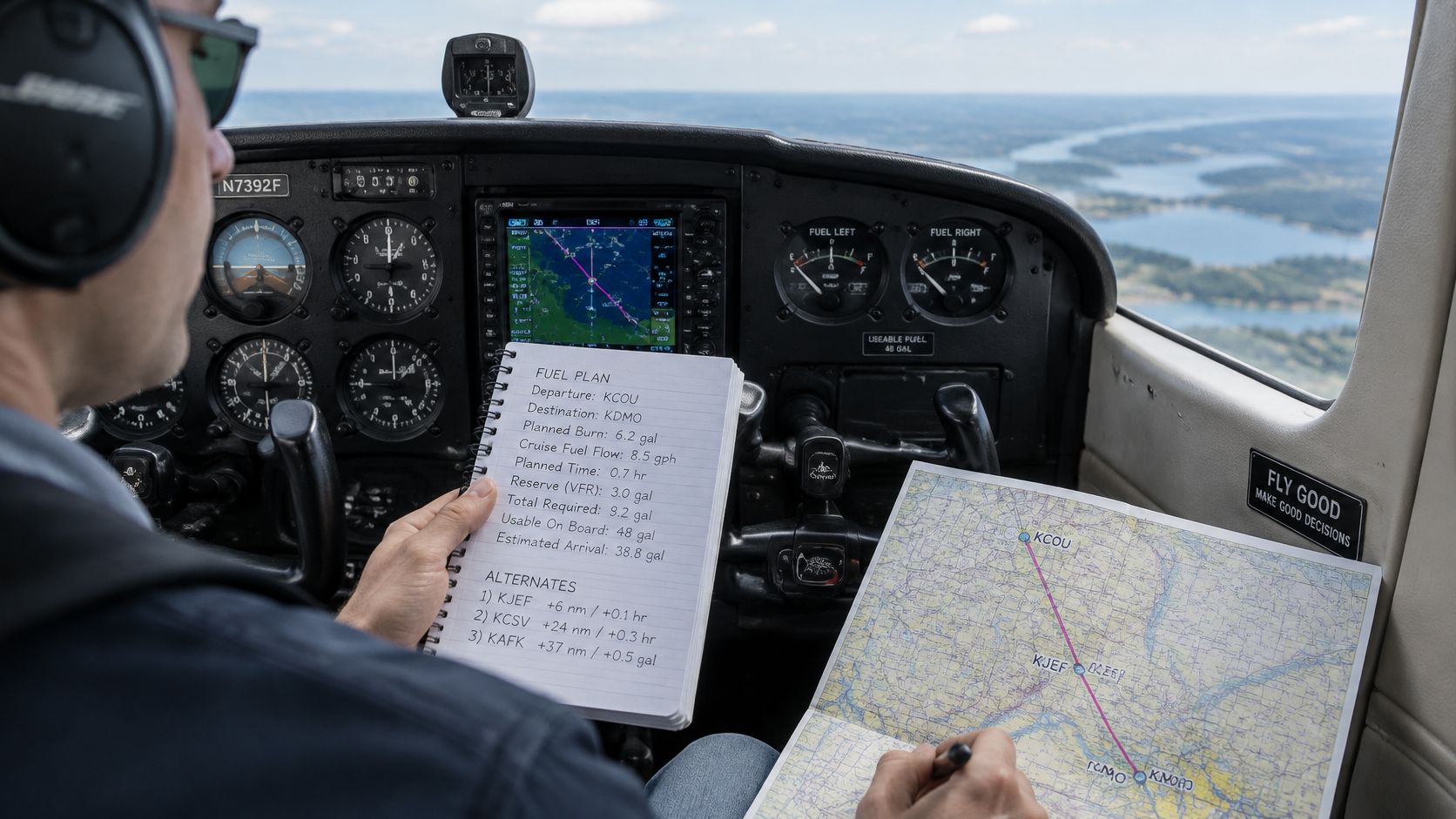
Suppose your groundspeed is lower than planned and the destination has a delay. Your fuel plan should already tell you how much margin remains, where you can land, and when to divert.
For VFR flights in the United States, regulations require enough fuel to reach the first intended landing and then fly for 30 minutes during the day or 45 minutes at night at normal cruising speed (FAA Pilot's Handbook of Aeronautical Knowledge). Treat that as the legal floor. A common personal planning benchmark is to arrive with at least one hour of fuel remaining in daylight, with a larger margin for mountainous, desert, remote, offshore, or unpredictable-weather routes.
Decide what changes the plan
Before departure, compare the expected fuel burn with the aircraft's POH and account for headwinds, destination delays, runway limits, and the possibility of a missed approach. Check that your intended landing options are usable under the forecast conditions. Carrying more fuel helps, but the plan is what makes it usable: a reserve, a viable landing point, and a diversion decision made early.
Set a trigger you can act on, such as a minimum fuel quantity at a checkpoint or a weather change that makes the next leg unsuitable. Choose it for the aircraft, route, conditions, and your training. Recalculate if actual groundspeed or fuel use differs materially from your estimate.
Decision principle: Use updated endurance and fuel figures to make the next decision.
Keep monitoring fuel as you approach the destination. An FAA review found that 27 of 49 reviewed fuel-exhaustion reports, or 55%, occurred in the traffic pattern near the end of a cross-country flight (FAA flight-planning guidance). Arrival in sight does not remove the need to reassess.
Before takeoff, state your intended fuel stop, identify a backup, and agree on the conditions that will trigger a diversion. Take that option while it remains practical. For more detail, review these fuel management strategies.
Practicing Cross Country Flights at Busy Towered Fields Like KCNO
The decision system does not end when the destination appears through the windshield. Its last steps run through a tower frequency, an active traffic pattern, and an arrival sequence the pilot may never have flown. A route that works on paper still has to work on the radio.
Chino Airport, KCNO, is a busy Class D field with three runways and multiple instrument approaches. Training there puts the student in real tower traffic: reading back clearances, sequencing behind other aircraft, and holding the plan loosely enough to change it when the tower sends the flight somewhere unexpected. Flight plans, frequencies, and expected clearances should be organized before taxi, while the cockpit is still quiet.
Make the arrival part of the plan
A familiar departure does not guarantee an uncomplicated return. Before launch, the pilot needs the arrival weather, the expected runway, the calls that field requires, and a clear picture of what would force a change. If the tower assigns a different runway or traffic stacks up in the pattern, the decision system keeps running. Students get behind the airplane when they press on because "this is how we always come back."
Traffic peaks change both workload and timing. Where the schedule allows, talk through departure and arrival times with the instructor and aim away from the busiest periods. Planned timing helps, but it never replaces listening for current traffic and following the tower's instructions on the day.
DuBois Aviation provides one-on-one instruction at Chino Airport, where students work through controlled-airspace and radio procedures during training. The school's fleet includes several four-seat training airplanes, a two-seat trainer, a high-performance single, and a twin, plus an in-house simulator for rehearsing procedures before flight.
Frequently asked questions
Does every trip to another airport count as qualifying cross-country time?
No. A trip may be called cross-country in ordinary conversation, but qualifying time for certain certificates or ratings has specific requirements, including the straight-line distance to a landing point from the original departure point. Confirm the flight's purpose before it is planned or logged.
Does each leg of a multi-stop trip need to be more than 50 nautical miles?
No. The distance that matters runs from the original departure point to the qualifying landing point, so a series of shorter legs can still satisfy the requirement when one landing sits far enough away. The first section covers how the multi-stop rule applies.
Is the VFR fuel minimum the recommended amount to carry?
No. The legal minimum and a pilot's planning reserve are different things. Calculate fuel needs for the specific aircraft and conditions, then select a personal margin and a diversion plan on top of that figure.
What should a pilot compare at the first checkpoint?
Compare actual position, groundspeed, heading, elapsed time, and fuel quantity against the navigation log. If the observed values differ materially from the plan, update the remaining time and fuel calculations before continuing.
Should a cross-country route depend on GPS alone?
No. Check the programmed route against the chart and flight plan, use visual checkpoints, and cross-check with available navigation aids. A GPS display cannot confirm the route is still suitable when weather, terrain, airspace, or airport conditions have changed.
DuBois Aviation offers flight training and aircraft rental at Chino Airport, with instruction built around a repeatable approach to route, weather, fuel, and diversion decisions. Book a one-on-one lesson at Chino Airport to practice the arrival, the tower calls, and the diversion decision on a real flight. Prospective pilots can visit DuBois Aviation to request training information, ask about course availability, or schedule a school tour.